Learning GIS (geographical information systems) requires training in cartography, database management, and spatial analysis. But once you’ve built a solid foundation in the basics, how do you approach GIS challenges in the real world? Dr. Jason VanHorn is here to help you master practical GIS scenarios, and answers the 7 most common questions he receives from other GIS professionals, including: Where can I get quality data? How do I create projections? What’s an inexpensive solution for collecting geospatial data? and Where can I find a GIS job?


Topics include Real-World GIS :
- Exploring GIS trends
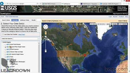
- Accessing data in proprietary and catalog formats
- Understanding GIS data formats
- Working with scale and graticules in projections
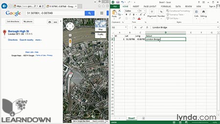
- Collecting geospatial data
- Building a GIS project from scratch
- Mastering GIS job interviews


Leave a Reply